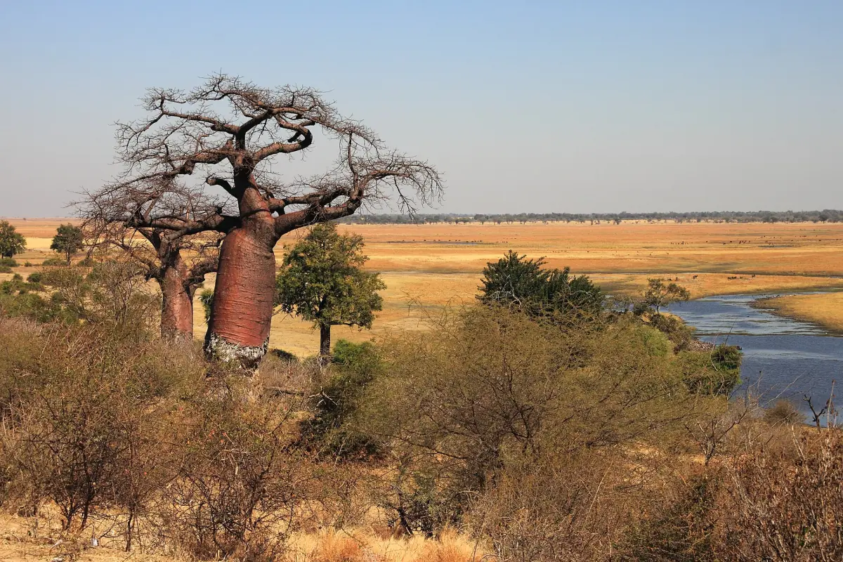
Chobe history in short
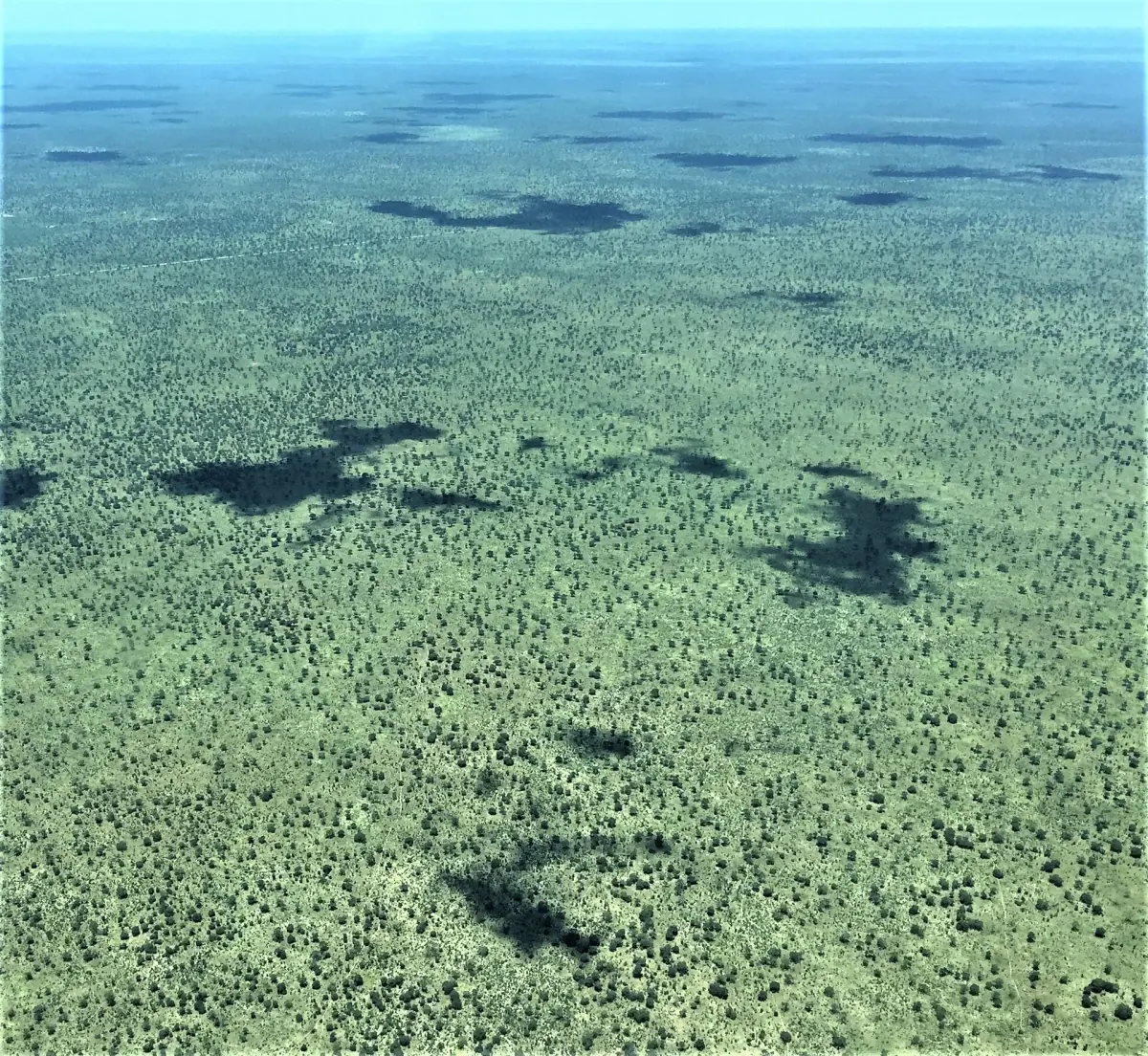
The history of Chobe is the story of a river landscape that moved step by step from hunting land to protected area. Protection from hunting began in 1932, the area became a game reserve in 1960, and the national park followed in the late 1960s. The national park now covers about 11,700 square kilometres of floodplain, swamp and woodland.
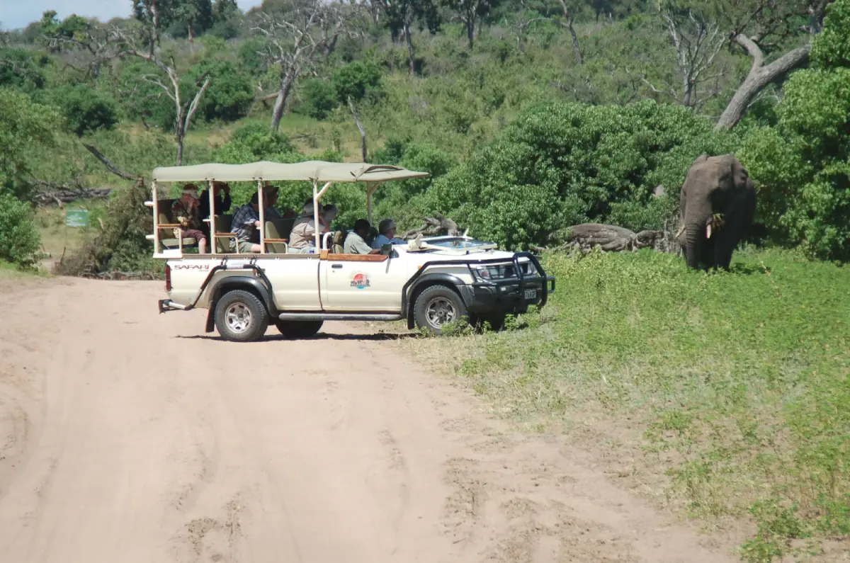
You can still read this history in the landscape, especially along the river. A morning game drive or a Chobe river cruise passes the old picnic ground at Serondela, the floodplain and the island that two countries once argued over.
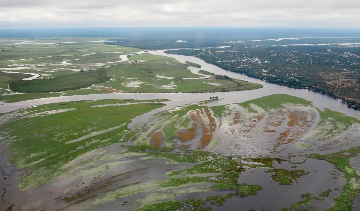
Our pick: a guided drive in the park
See the landscape the history is about, with a guide who can answer questions.
Hand-picked tours, booked through GetYourGuide. Prices are indicative starting prices in US dollars (as of October 2026). Tap a tour for live availability and the current price in your currency.
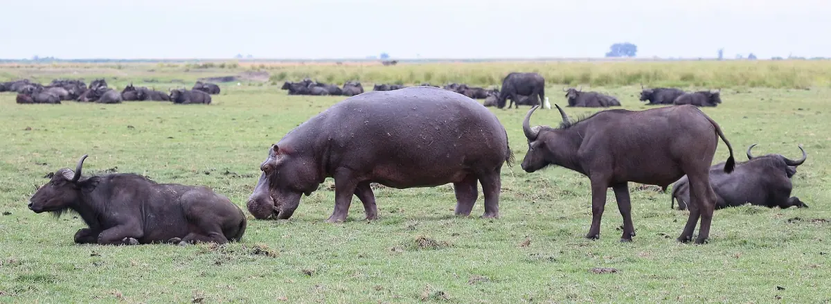
Chobe tours through the park's history
Game drives and river cruises along the Riverfront, with live prices and availability.
From hunting area to national park
The main steps in the order they happened.
1932: protection from hunting
The first step was to protect the wildlife of the area from hunting. This is the start of the conservation story that led to today's park.
1960: game reserve
The area became a game reserve, the next step on the way to a national park.
1967 or 1968: national park
Chobe became a national park in the late 1960s, in 1967 or 1968.
Today: a cross-border landscape
The park is part of a cross-border conservation landscape that links Angola, Botswana, Namibia, Zambia and Zimbabwe. That conservation area is called KAZA. It is a landscape of protected areas and not a visa.
Serondela: the sawmill settlement
Serondela is known today as a picnic site on the Riverfront, but it was once a settlement built around a sawmill inside what later became the park. As the park developed, the residents were moved out. The final clearance is dated to around 1975.
When you visit the Riverfront, remember that the place has a human history as well as a wildlife one. Read more about the area in our Chobe Riverfront guide.
The park today
Chobe covers about 11,700 square kilometres. Its regions are the Chobe Riverfront, the Ngwezumba Pans, Savuti and Linyanti, and Kasane is the main gateway to the Riverfront. Savuti and Linyanti lie further inland and are planned as separate trips.
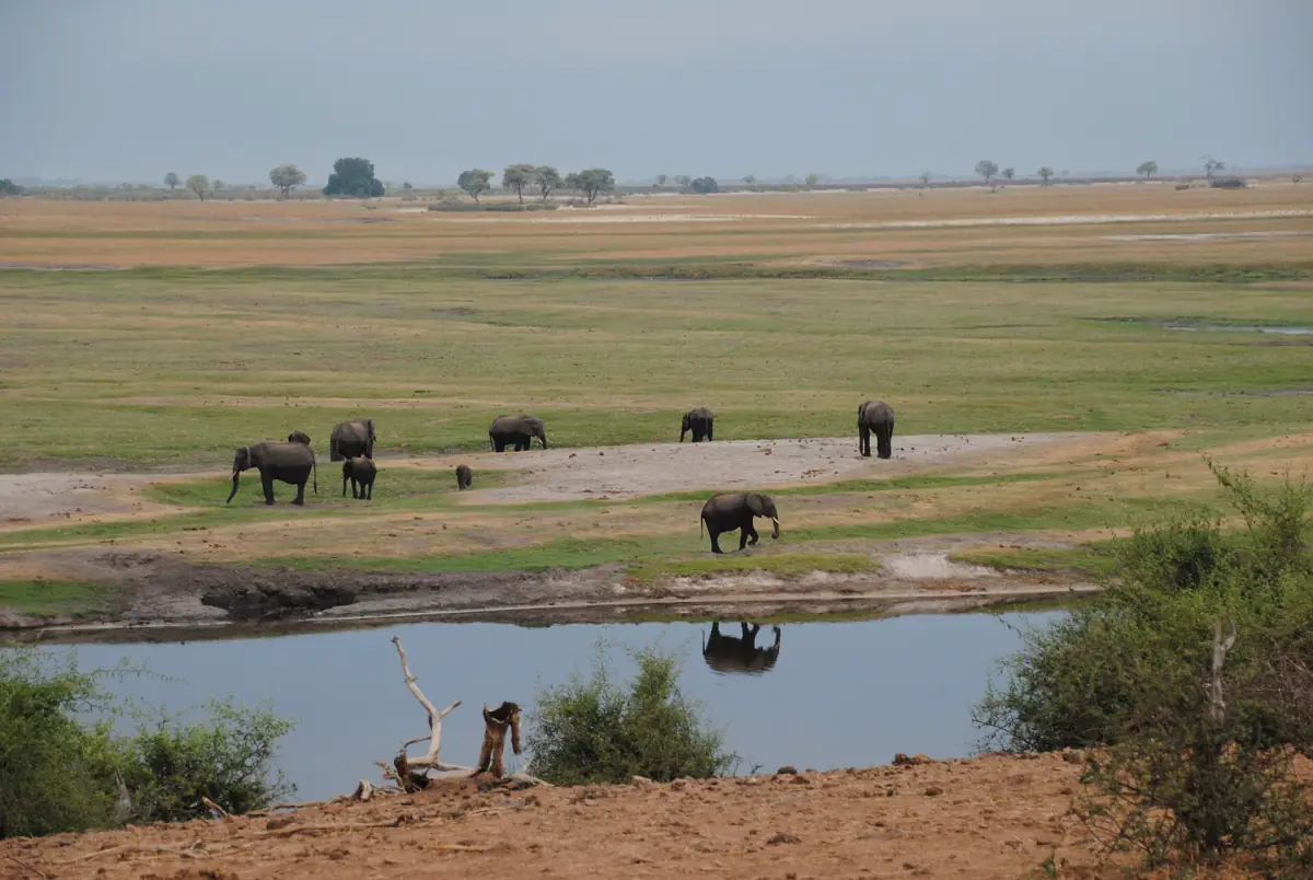
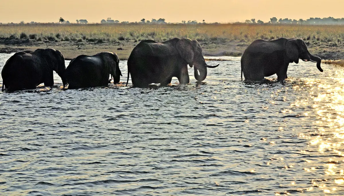
In the dry winter months elephants and buffalo gather along the river, and that is the picture most visitors associate with Chobe. Read more in our guide to the best time to visit.
Border history and recent changes
Events that shape a visit today.
Sedudu Island, 1999
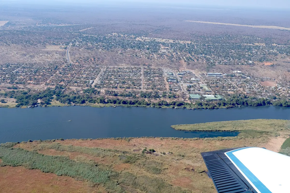
Botswana and Namibia disputed the ownership of Sedudu Island in the river near Kasane. On 13 December 1999 the International Court of Justice decided that the island belongs to Botswana. The ruling did not create the island, which was always there, and it is no longer an open dispute.
Kasane guide →Kazungula Bridge, 2021
The bridge over the Zambezi opened on 10 May 2021 and traffic started the next day. It is now the standard crossing to Zambia.
Getting to Chobe →Transit road, 2025
From 1 April 2025 the road between Sedudu and Ngoma is open for transit round the clock. The regular park hours for game drives remain separate.
Elephants and hunting policy
Botswana introduced a hunting ban in 2014 and lifted it in 2019, citing conflicts between people and wildlife and effects on livelihoods. That does not mean hunting for tourists takes place in the national park. The 2022 survey estimated 131,909 elephants for Botswana as a whole, which is not a Chobe figure.
Elephants in Botswana →Where to see this history today
Places on the Riverfront and beyond that connect to the story above.
Sedudu Gate
The Riverfront gate is about 6 km west of Kasane, roughly 10 minutes by car. It is the usual starting point for a morning game drive along the river.
Ngoma
Ngoma is the second gate on the Riverfront and the border post to Namibia. The transit road links it with Sedudu.
Ghoha and Mababe
These two gates lie on the approaches to Savuti, Ghoha on the northern route and Mababe on the southern one.
Serondela
The picnic ground is the former sawmill settlement. Look it up with your guide before you go, and check at the gate what is open on your day.
Plan the rest of your trip
Related guides.
Chobe history: frequently asked questions
When was Chobe National Park founded?
In 1967 or 1968. Protection from hunting began in 1932, and the area became a game reserve in 1960.
What was Serondela?
A settlement built around a sawmill in what later became the park. Its residents were moved as the park developed, with the final clearance dated to around 1975.
Who owns Sedudu Island?
Botswana. The International Court of Justice decided this on 13 December 1999.
How big is Chobe National Park?
About 11,700 square kilometres, with floodplains, swamps and woodland. Its regions include the Chobe Riverfront, the Ngwezumba Pans, Savuti and Linyanti.
Is hunting allowed in Chobe National Park?
A national hunting ban existed from 2014 to 2019 and was then lifted. That does not mean hunting for tourists takes place inside the national park.
Can I visit Serondela today?
Serondela is a picnic site on the Riverfront. Check at the gate whether a visit is possible on your day.